Xinjiang Uyghur Autonomous Region of China is located in the northwest of China and the interior of Eurasia. The Silk Road connected ancient China with the world, making it a place of coexistence and exchange among various civilizations. Xinjiang has long been a multi-ethnic area and has officially become a part of China since the Han dynasty. Today, it is the home of all 56 Chinese ethnic groups.
Close to Nature
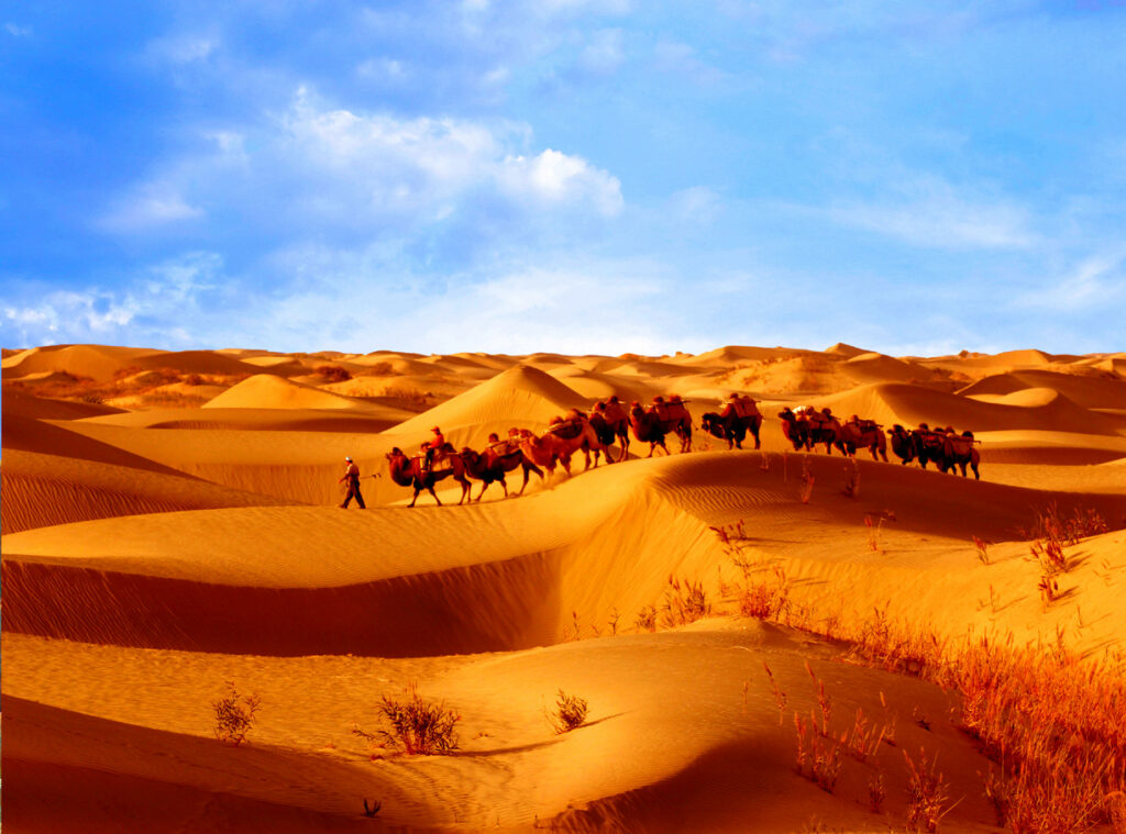
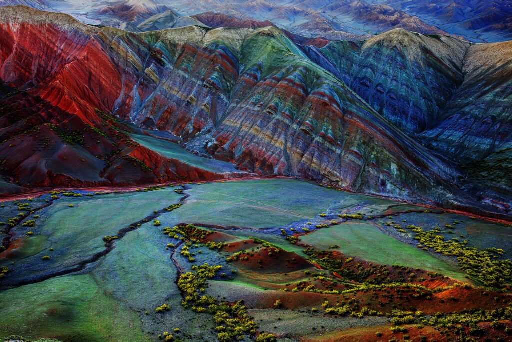
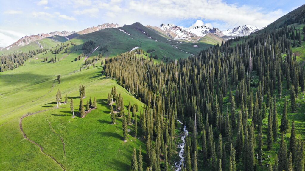
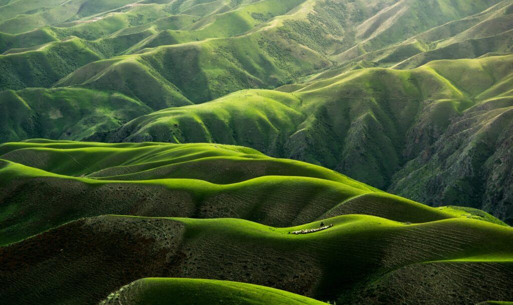
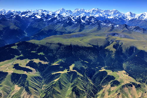
The landform of Xinjiang can be summarized as “three mountains segmenting two basins”; from the north to the south, there lie the Altai Mountains, Tianshan Mountains and Kunlun Mountains. To the north of the Tianshan Mountains is Junggar Basin, and to the south is Tarim Basin, in which Taklimakan Desert is China’s largest and world’s second largest shifting sand desert. To the east of the Tianshan Mountains, Turpan Depression marks the lowest point of China – 154.31 meters below sea level; to the west is Ili Valley, where the scenery is as charming as that of the lush south bank of the lower reaches of the Yangtze River.

The Fairyland – Kanas / Photo by Juniper Photon
Nuerjia Canyon
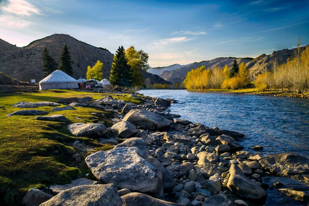
Sky Prairie – Nalati Grassland / Photo by Andy Guan
Body-shaped Prairie – Kalajun Grassland / Photo by Qingbao Meng
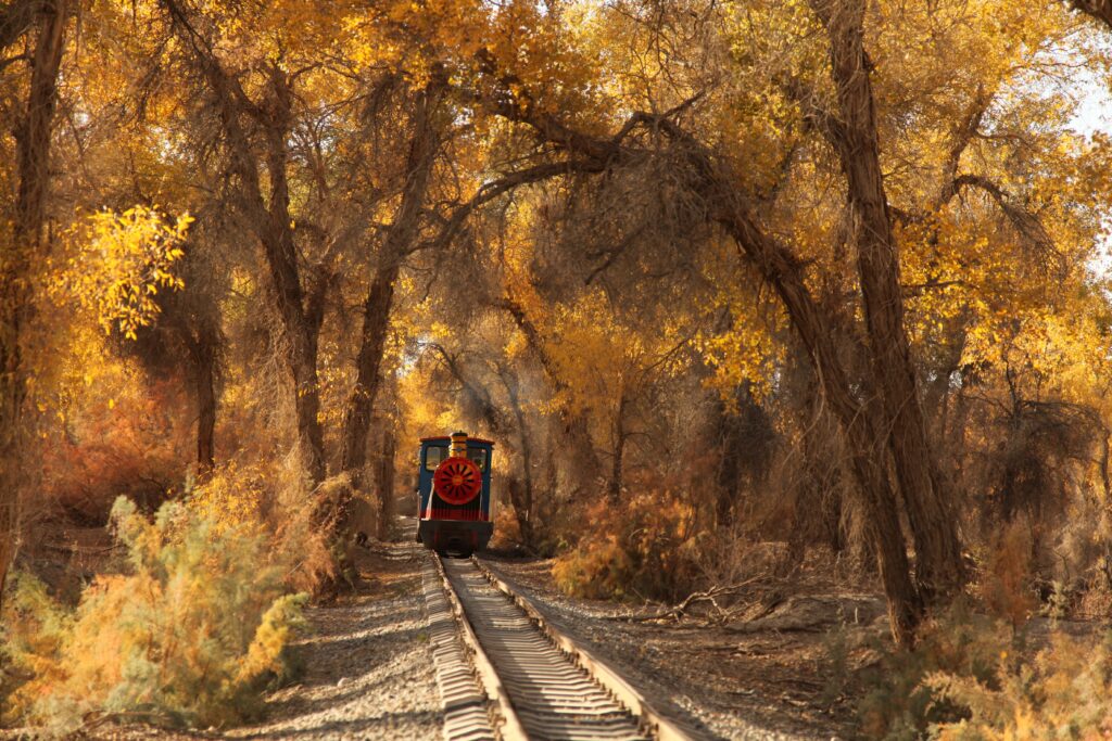
Tarim Populus Euphratica National Forest Park
Keketuohai National Park, Altay
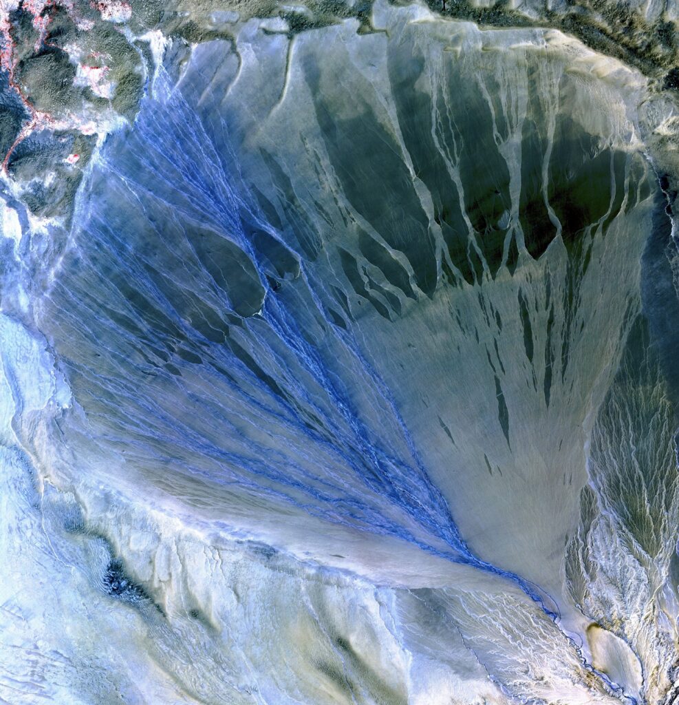
Alluvial Fan, Kunlun – Altun Mountains / Photo by USGS

Xiaodonggou Forest Park, Altay
World Natural Heritage
Xinjiang Tianshan
Tianshan Mountains / UNESCO
Tianshan Mountains / UNESCO
Tianchi Lake, Tianshan Mountains
Tomur Grand Canyon, Tianshan Mountains / UNESCO
Back to History
Xinjiang enjoys a profound historical and cultural heritage. A significant number of ancient cities, cultural sites, tombs, grotto temples and other cultural landscapes are distributed along the three major routes of the Silk Road in the north, south and center. In 1900, Swedish explorer Sven Hedin discovered the ancient city of Loulan in Lop Nur, Xinjiang; in 1934, Swedish archaeologist Folke Bergman discovered the Xiaohe Cemetery near Loulan, adding an important chapter in modern archaeological history.
Xiaohe Cemetery / 新疆博物馆
Tuyuk / Photo by Lauren Barton

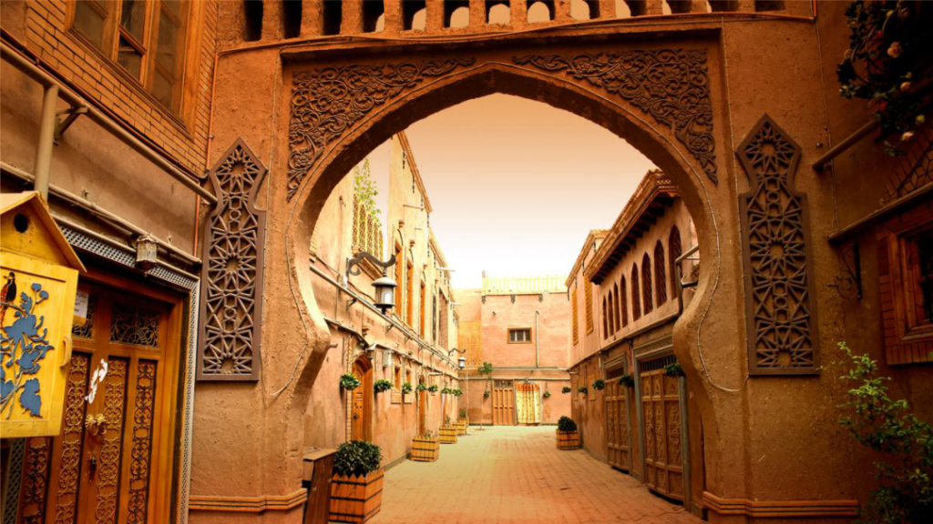
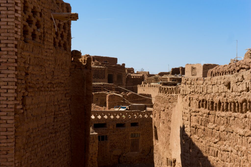
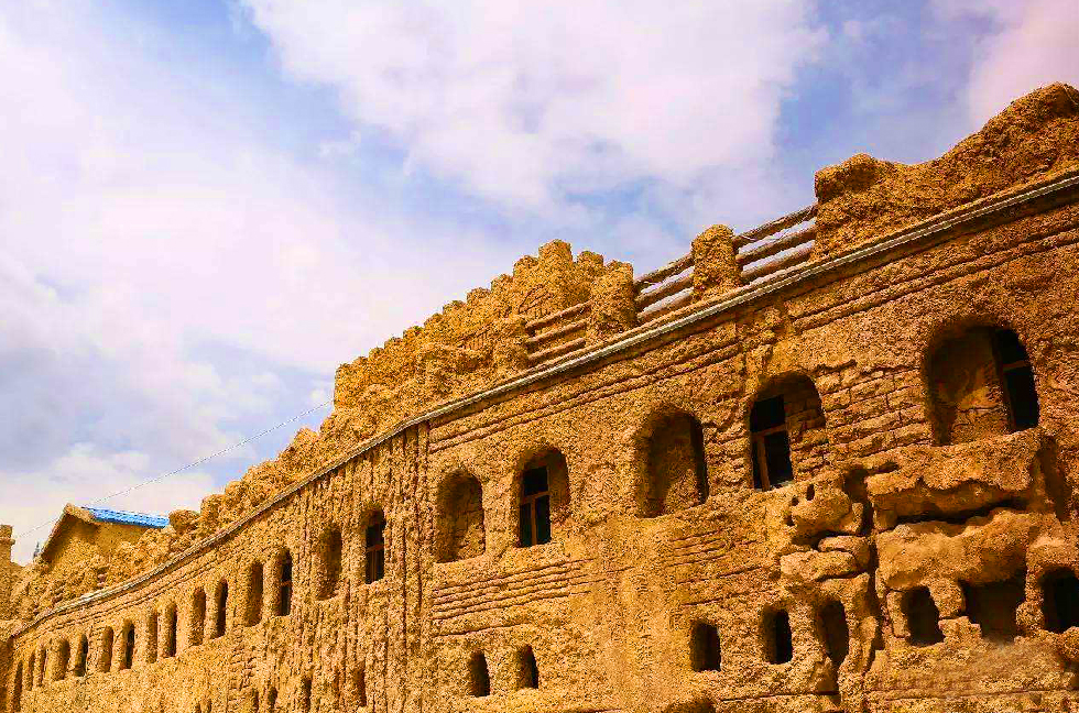
Ancient City of Kashgar
World Cultural Heritage
Silk Roads: the Routes Network of Chang’an-Tianshan Corridor
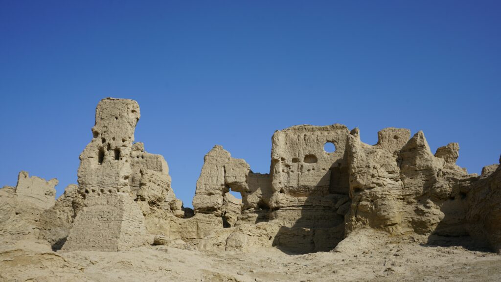
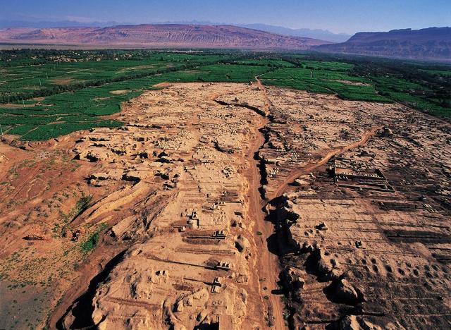
The Silk Road contributed to the development of many of the world’s great civilizations. In 2014, “Silk Roads: the Routes Network of Chang’an-Tianshan Corridor” applied by China, Kazakhstan and Kyrgyzstan was inscribed on the World Heritage List. This property is a 5,000 km section of the extensive Silk Roads network, stretching from Chang’an (present-day Xi’an) and Luoyang, the central capital of China in the Han and Tang dynasties, to the Zhetysu region of Central Asia. It took shape between the 2nd century BC and 1st century AD and remained in use until the 16th century, linking multiple civilizations and facilitating far-reaching exchanges of activities in trade, religious beliefs, scientific knowledge, technological innovation, cultural practices and the arts between various cultural regions, especially the nomadic steppe and settled agrarian/oasis/pastoral civilizations on the Eurasian continent. Thirty-three sites along the corridor include capital cities and palace complexes of various empires and Khan kingdoms, trading settlements, Buddhist cave temples, ancient paths, posthouses, passes, beacon towers, sections of the Great Wall, fortifications, tombs and religious buildings. Six sites are located in Xinjiang, including Beshbalik City Ruins, Jiaohe Ruins, Gaochang Ruins, Subash Buddhist Temple Ruins, Kizil Caves and Kizil Kagha Beacon Tower.
Jiaohe Ruins / Photo by Darmau Lee
Gaochang Ruins
Beshbalik City Ruins
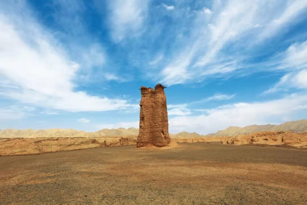
Kizil Kagha Beacon Tower
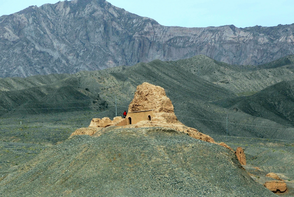
Subash Buddhist Temple Ruins
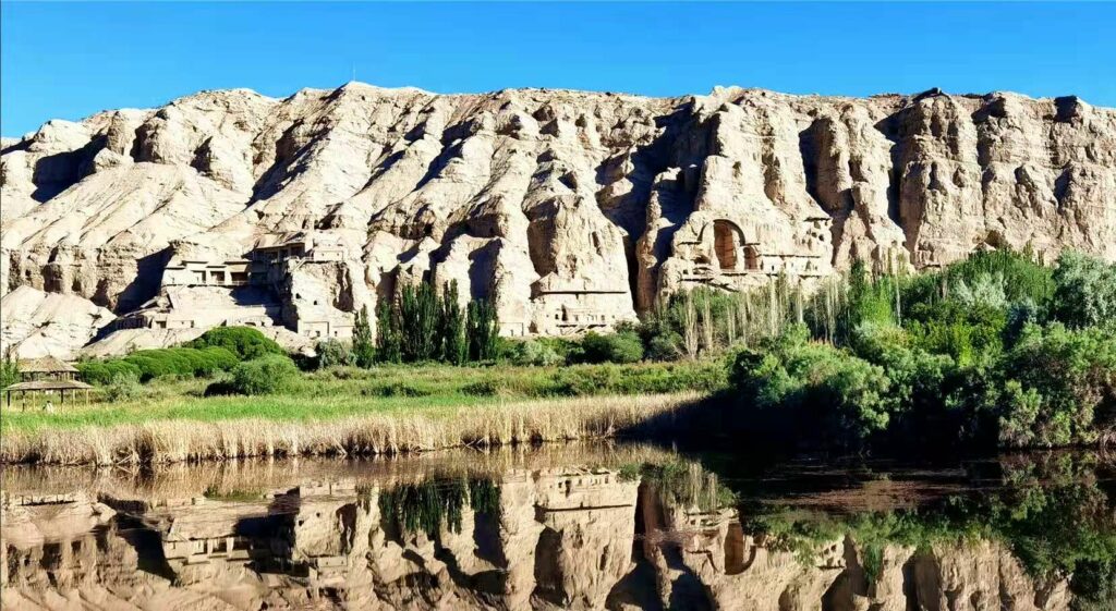
Kizil Caves
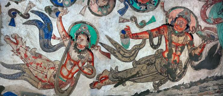
Mural in Kizil Caves
Embrace Colorful Life
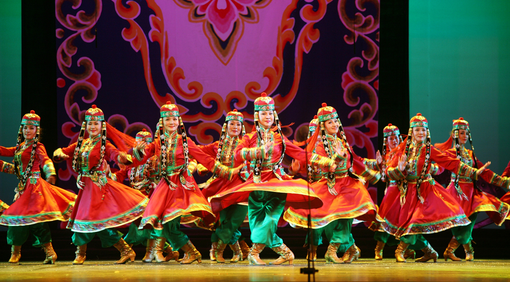
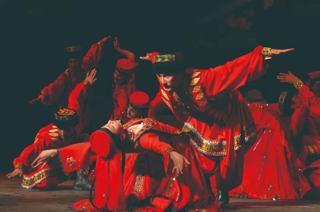
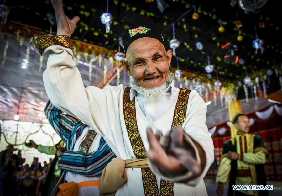
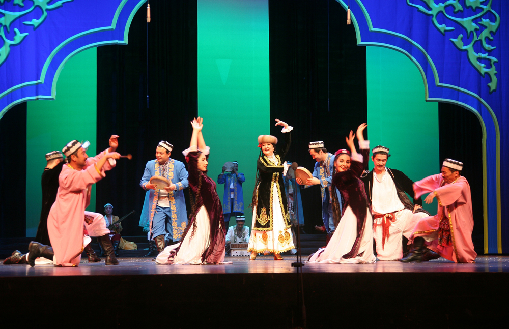
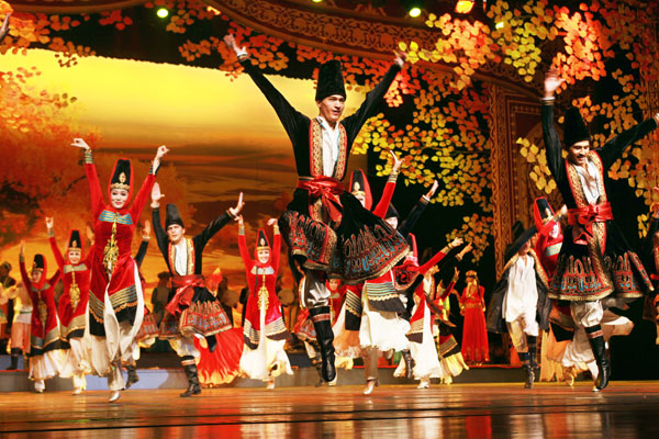
Xinjiang is rich in ethnic culture with diverse ethnic groups featureing different customs, arts, sports, costumes, cuisines, etc. Xinjiang is known as the “land of singing and dancing” where Sanam and Dolan dances of the Uyghur, Eagle dance of the Tajik, Sauurdin dance of the Mongolian and a variety of folk dances bloom.
Mongolian Sauurdin Dance / 刘晓辉 Liu Xiaohui www.zgysyjy.org.cn
Tajik Eagle Dance
World Intangible Cultural Heritage
Xinjiang Uyghur Muqam
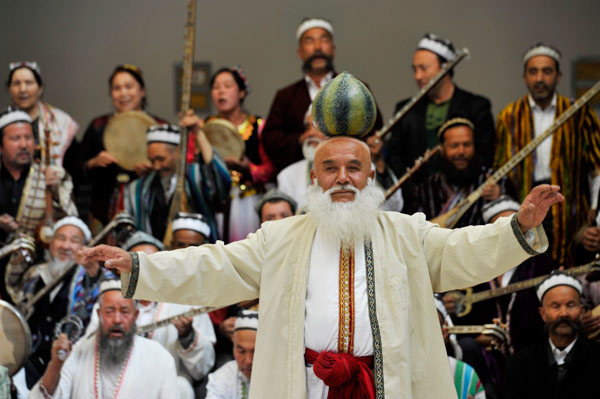
Muqam / Xinhua
Muqam / Photo by Jin Wei Asianewsphoto
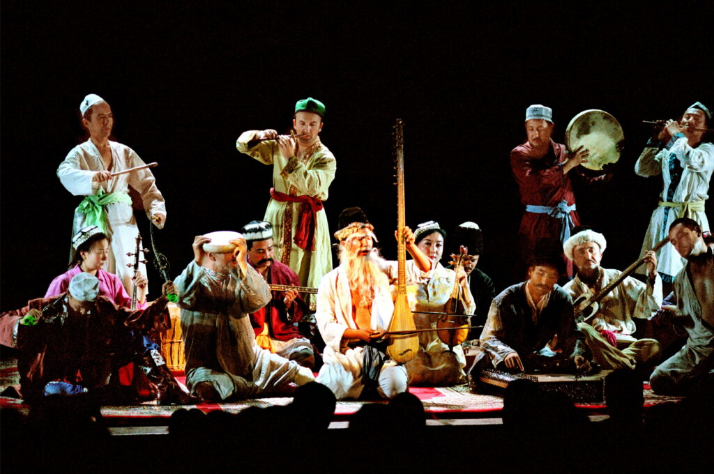
Muqam / www.ihchina.cn
World Intangible Cultural Heritage
Meshrep
麦西热甫 Meshrep / 刘晓辉 Liu Xiaohui www.zgysyjy.org.cn
《永远的麦西热甫》Forever Meshrep choreographed by Dilnar Abdulla / China Daily
Sources:
新疆维吾尔自治区文化和旅游厅
http://xinjiang.gov.cn
中国国家地理
China Daily
chinaculture.org
https://en.unesco.org/
http://www.ihchina.cn
http://www.zgysyjy.org.cn
http://www.travelchina.org.cn/
《非物质文化遗产在中国》,2017
Facebook: China Cultural Center in Stockholm
https://www.facebook.com/China-Cultural-Center-in-Stockholm-110983273921638
Instagram: chinaculturalcenterinstockholm
https://www.instagram.com/chinaculturalcenterinstockholm/
Tik Tok: cccinstockholm
@cccinstockholm
Wechat: 斯德哥尔摩中国文化中心 or scan the QR code below